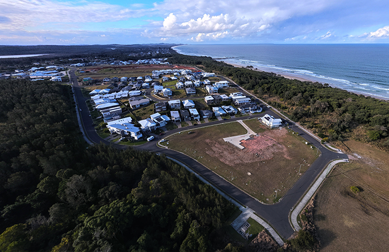
PHOTOGRAPHER Alex McNaught is a master of the art of capturing this region’s natural beauty.
From whales and waves to wildlife and waterways, his ground and aerial images are not only commissioned or displayed in galleries, they are regularly shared to the Camden Haven’s social media pages.
 Advertise with News of The Area today.
It’s worth it for your business.
Message us.
Phone us – (02) 4981 8882.
Email us – media@newsofthearea.com.au
It was in one of these forums that Alex got the idea to shift focus to a view you won’t find on postcards or in tourism brochures.
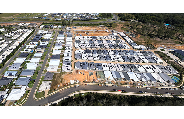
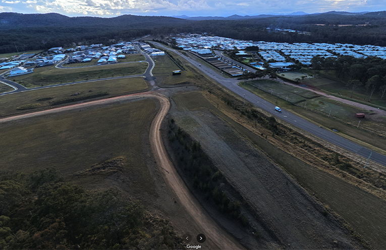
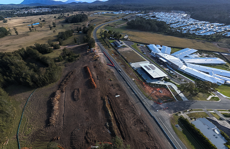
Responding to comments about local development, and to last week’s News Of The Area story about land clearing, the licensed drone operator updated his 360 degree images of Lake Cathie, Rainbow Beach, Bonny Hills and Jolly Nose, and added them to Google Maps.
“I think it’s a good thing to use the camera to show what’s going on and [to] provoke thought and discussion,” Alex told News Of The Area.
Some parts were cleared long ago for grazing, and some of the housing estates were approved by Port Macquarie-Hastings Council or the State Government with minimal opposition.
But nonetheless, the new images are sobering.
“In those shots you can see the stark contrast in trees and vegetation [where] developers have razed areas right to the boundary.”
This practice is called clear cutting, which means to remove all trees and vegetation to maximise the available land.
Responses to the images have ranged from anger and shock at the extent of the clearing and to how close some of the houses are to one another, to a general resignation that development is inevitable.
Many agreed environmental planning and approval processes in this area, along with wildlife planning and protection, need to improve.
“It’s not sustainable. We must change our strategy and policy to cater for population growth, as well as the area we find so attractive… and not destroy it in the process.”
The interactive images can be accessed by going to a Google Maps view of the area and picking up the Street View icon (the one that looks like a little yellow man).
Dragging it over the map will activate a series of small blue circles, which are the new location markers.
According to Alex, “they will appear as a permanent ‘blue dots’ record for future reference.”
By Sue STEPHENSON