THE sea fog that has been lingering over the Camden Haven for almost two weeks is indeed an anomaly, according to the Bureau of Meteorology.
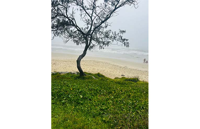
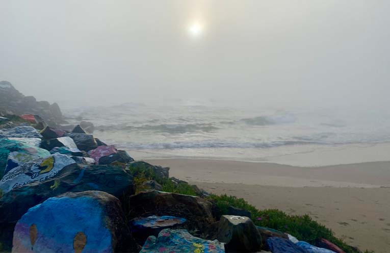
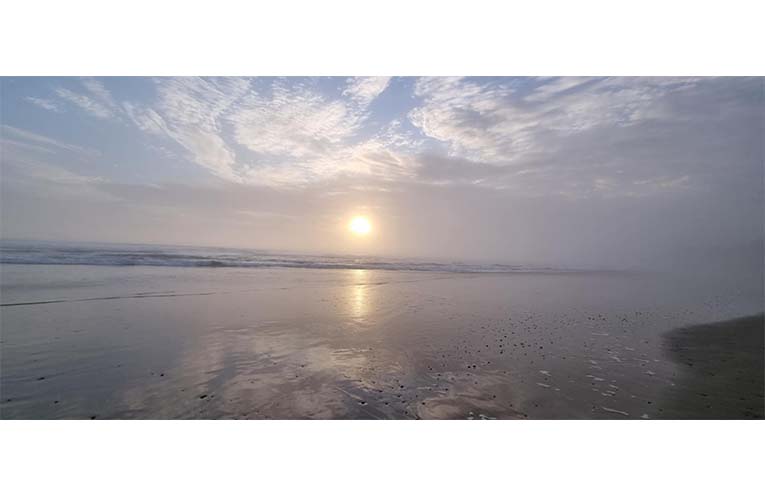
The shroud has crept over beaches, headlands and even into towns, inspiring pictures that are both stunning and spooky.
 Advertise with News of The Area today.
It’s worth it for your business.
Message us.
Phone us – (02) 4981 8882.
Email us – media@newsofthearea.com.au
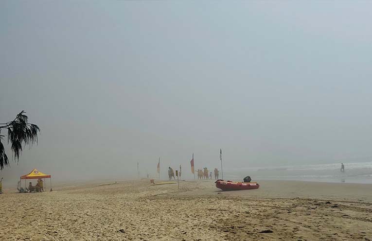
Fifteen-year-old Lacey Ryan captured a classic photo of surf life savers on the beach at Bonny Hills.
Standing between the flags around 11am on 1 December, their visibility looks to be almost zero.
It’s as if one of the creatures from the horror movie “The Mist” is about to emerge from the surf.
While fog is a hazard on the water, the Mid North Coast Inspector for Marine Rescue NSW Rodney Page, said that as of Wednesday, there had been “no reports of boats crashing into anything”.
With Christmas now less than a fortnight away, News Of The Area contacted the Weather Bureau to find out what was causing this phenomenon and how long it was expected to stick around.
The detailed explanation below has been provided by NSW Meteorologist Jiwon Park.
What is causing this sea fog?
A slow moving high pressure system over the Tasman Sea has directed a moist north-north-east airstream from subtropical latitudes to eastern NSW, resulting in high dew point temperatures (Td > 20 degrees).
The persistent airstream promoted by the high pressure system also causes coastal upwelling, causing a cooler sea surface temperature (SST) anomaly.
When the difference between the sea surface temperature and the dew point temperature becomes small, and the low level moisture is trapped underneath maritime inversion brought by the high pressure system, the atmosphere near the sea surface gets saturated and sea fog forms.
Additionally, if there is a shallow coastal trough (typically a remnant of a past southerly change), the area around the trough becomes a favoured location for sea fog.
How rare is it?
Sea fog is relatively rare in NSW. But, if it happens, it typically happens in Summer as it is moisture driven. Note that the mechanism in NSW sea fog may be different from the mechanisms in other parts of the world.
Although rare in general, sea fog is more frequent along the southern and central parts of the coast than the north coast of NSW because of sea surface temperature (if sea surface temperature is too warm, sea fog becomes less likely).
Sea fog can last, or return, as long as the condition is met. Sea fog lasting, or returning each overnight/morning period for two or three more days is not unprecedented.
How widespread is it?
For this event, we are unable to confirm its spatial extent due to the high cloud cover over the area in the past days.
How long will it last?
Sea fog is generally difficult to forecast.
On the other hand, as we are seeing the breaking of the current pattern with a coastal southerly change, we may see a break of this pattern, although the chance of sea fog returning later in the week cannot be ruled out.


